

Imagery Scientist - SAR Expert

Geo Owl
Springfield, VA, United States
3 months ago

Role details

Contract type
Permanent contract
Employment type
Full-time (> 32 hours)
Experience level
Expert
Experience required
6 years minimum
Working hours
Regular working hours
Job source

Tech stack

Artificial Intelligence Algorithm Design Business Analytics Applications Computer Vision Google Earth Image Quality Information Theory Python (Programming Language) MATLAB Machine Learning

Job description

The Imagery Scientist - SAR Expert provides advanced technical expertise in Synthetic Aperture Radar (SAR) collection, exploitation, algorithm development, and imagery science. This role supports research, operational analysis, and development of advanced methodologies to enhance SAR exploitation capabilities across mission environments. The selected candidate will work with technical teams and mission stakeholders to evaluate sensor performance, develop innovative analytical solutions, and communicate SAR capabilities to diverse audiences.

Requirements

Do you have experience in Sensors?, Position Requires a current TS/SCI with CI Polygraph

  • Minimum of six (6) years of experience as a SAR imagery subject matter expert.
  • Deep understanding of SAR collection methodologies, phenomenology, image formation processes, and exploitation products.
  • Experience exploiting SAR imagery to identify, characterize, and geolocate Objects of Interest (OOIs).
  • Experience utilizing SARPy, MATLAB SAR Toolbox, and related exploitation and analysis tools.
  • Knowledge of Remote NIIRS (RNIIRS), information theoretic-based image quality metrics, SAR imagery quality metrics, and sensor metadata parameters such as graze angle and squint angle.
  • Experience developing, testing, and evaluating algorithms, methodologies, workflows, and products using SAR imagery and analytical tools such as Python, MATLAB, and Google Earth Engine.
  • Ability to communicate SAR capabilities, limitations, and operational applications to technical and non-technical audiences.
  • Strong understanding of remote sensing principles, imagery science, image processing, and advanced exploitation methodologies., * Experience applying computer vision (CV), artificial intelligence (AI), or machine learning (ML) techniques to SAR imagery exploitation and analytics.

Apply for this position

This job is hosted externally. Click below to view the full posting and apply.

Apply on indeed.com

Good distractions

Talks and stories from around this role — technically off-topic, practically not.

2:40 min

Motivations for transitioning legacy MATLAB repositories to Python

Michael Niebisch Michael Niebisch · WWC 2024

2:28 min

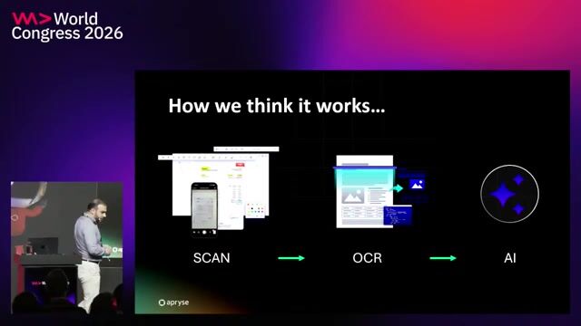
Why raw OCR pipelines fail in reality

Nazeer Saeed Nazeer Saeed · WWC Europe 2026

4:10 min

Introduction to technical background and geospatial roles

Joana Simoes · LIVE

2:14 min

Custom domain controllers and vehicle communication networks

Denis Grahovac · WWC 2021

2:01 min

Improving image analysis prompts with external geocoding data

Raymond Camden · Perf + AI

1:56 min

Improving OCR performance through image quality preprocessing

Nazeer Saeed Nazeer Saeed · WWC Europe 2026

Videos

See all

Related articles

See all