

ER
Erin Rifkin
Got AI ideas but no money? Here are 10 free ways to level up your AI skills with Google Cloud
about 1 year ago
Doctoral Degree in Remote Sensing, Cartography, Geography, or related field AND 5 years CURRENT GEOINT Analysis experience; OR
MA or MS in Remote Sensing, Cartography, Geography, or related field AND 10 years CURRENT GEOINT Analysis experience; OR
BA/BS degree in Remote Sensing, Cartography, Geography, or related field AND at least 15 years of Intelligence Analysis experience to include 8 years of CURRENT GEOINT Analysis experience.
Qualifications:
College degree must be in a relevant field such as remote sensing, Geospatial sciences, Relevant STEM field, or political science.
Relevant specialized experience must be in the application of space-based GEOINT.
Expert knowledge of the full spectrum of US GOV and commercial satellite capabilities, including tasking and collection processes and protocols
Expert knowledge of GEOINT software including RemoteView, SOCET GXP, or ArcGIS.
Experience with photogrammetric principles and techniques.
Experience with conducting Foundational Military Intelligence analysis and baseline reporting.
Ability to collaborate with GEOINT analysts to deconstruct problems and develop effective analysis and collection approaches.
Ability to collaborate with partners across the IC and DoD on technical or substantive topics.
Knowledge of relevant GEOINT-related Army, National System for GEOINT (NSG), or Intelligence Community (IC) policies.
Expert ability to present intelligence information via multimedia presentations and written reports.
Experience with object-based production (OBP), structured observation management (SOM), and activity-based intelligence (ABI).
Experience with analytic modeling.
Current/active TS/SCI clearance
Desired Qualifications/Skills:
GPC-II Imagery Certification
Experience with commercial visualization software
Experience with non-traditional GEOINT data sources
Experience with MS Office suite of tools.
Experience with data analytics and COTS statistical software (SPSS, SAS, MatLab etc.) Experience presenting at community forums and symposiums
Celestar, a B&A Company, offers highly competitive salaries and benefits. Our comprehensive benefits package includes company-paid employee and family dental insurance, employee health insurance, life insurance, and disability coverage. Additionally, we provide a 401(k)-retirement plan with company matching, paid holidays, and personal time off.
This job is hosted externally. Click below to view the full posting and apply.
Talks and stories from around this role — technically off-topic, practically not.
2:01 min
2:40 min
 Michael Niebisch · World Congress 2024
3:13 min
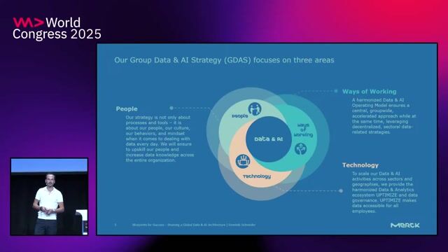
 Dominik Schneider · World Congress 2025
4:10 min
2:14 min
3:09 min



.webp)