


Senior Geospatial Specialist

Stantec
Milwaukee, WI, United States
6 days ago
Apply on dejobs.org
Prepare application

Role details

Contract type
Temporary contract
Employment type
Part-time / full-time
Experience level
Expert
Experience required
10 years minimum
Working hours
Regular working hours
Job source

Tech stack

Microsoft Access Microsoft Word Microsoft Excel Computer-Aided Design Microsoft Windows Application Programming Interfaces (APIs) Data Analysis Software Suite ArcGIS (Software) Microsoft Outlook Extract Transform Load (ETL) Digital Mapping
+11 more
Python (Programming Language) PostgreSQL Microsoft Office Microsoft SQL Server Power BI Microsoft SharePoint Spatial Data Infrastructures Data Management Autodesk Autocad Lidar Mobile Data

Job description

  • Create and maintain spatial and non-spatial information for a variety of platforms primarily involving ESRI ArcGIS Software (ArcGIS Pro, ArcGIS Desktop, ArcGIS Online (AGO)).
  • Work in Windows 10 Enterprise and using MS Office suite of applications (Teams, Outlook, Word, Access, Excel, SharePoint).
  • Produce custom thematic map products and carry out data analysis/summaries to support multidisciplinary project deliverables.
  • Prepare web maps, online dashboards, and manage data for field survey crews, using applications and platforms which include Survey 123, Field Maps, and ArcGIS Online.
  • Interpret and analyze spatial and non-spatial data, perform complex spatial analysis using scripts and geoprocessing tools.
  • Manage GIS projects including spatial data, budgets, and timelines as part of a multi-disciplinary team.
  • Implement, adhere to, and maintain data integrity and quality control procedures.
  • Serve as GIS lead on projects of varying lengths and budgets while supporting other GIS staff as required.
  • Establish and maintain effective working relationships, be a liaison between internal and external staff including project managers, discipline contacts and other consultants.
  • Communicate directly with clients to discuss and present the optimal approach for using geospatial technologies to meet their project needs.
  • Maintain health and safety protocols.
  • Assist in the development of costs and budgets associated with pursuits and opportunities.
  • Assist in proposal development.
  • Report to the Great Lakes GIS Team Lead.

Requirements

  • Educated knowledge and experience working with Esri ArcGIS software suite, primarily ArcPro and ArcGIS Online, as well as ArcGIS Experience Builder, ArcGIS Field Maps, ArcGIS Survey123.
  • Experience building and using a GIS to solve problems, present results, and graphically report analytical data for multi-disciplinary teams.
  • Technical training and experience in GIS mapping, geospatial analysis, and geographic principles (e.g., map projections and coordinate systems).
  • Strong cartographic skills including the ability to adhere to standards and communicate highly complex information in an accessible and attractive manner.
  • Experience with mobile data collection tools and AGO products (WebMaps, WebApps, Experience Builder, Hub Sites, Dashboards, StoryMaps, etc.).
  • Demonstrated data management and data organization skills.
  • Ability to thrive in a fast-paced, collaborative environment.
  • Ability to prioritize, organize, and perform multiple work assignments simultaneously.
  • Strong written, oral, and virtual communication skills for all levels of technical understanding.
  • Demonstrated ability to work in a team environment.

Preferred:

  • Database management and analytics (SQL Server, PostgreSQL, Power BI).
  • Customization, automation, and extract-transform-load (ETL): Arcade, Python, FME, ModelBuilder, ArcGIS API.
  • Prior experience in the delivery of GIS products and analytical solutions as they relate to Environmental Assessments is an asset.
  • Familiarity with state and federal government datasets.
  • Experience working with LiDAR data.
  • Working knowledge of Autodesk/CAD.
  • Experience in supporting business development and proposal writing
  • Prior experience in state utility board permitting support.
  • Prior experience in linear infrastructure project support.

Education and Experience

  • A Bachelor’s degree or higher.
  • Minimum of 10 years of related experience, but preferably 15 years.
  • Experience in a consulting environment is ideal.
  • Prior experience in the delivery of GIS products and analytical solutions as they relate to Environmental Assessments, site assessments, and the Environmental Regulatory Process is an asset.

Benefits & conditions

Benefits Summary: Regular full-time and part-time employees (working at least 20 hours per week) have access to medical, dental, and vision plans, a wellness program, health saving accounts, flexible spending accounts, 401(k) plan, employee stock purchase program, life and accidental death & dismemberment (AD&D) insurance, short-term/long-term disability plans, emergency travel benefits, tuition reimbursement, professional membership fee coverage and paid family leave. Regular full-time and part-time employees will receive ten paid holidays in each calendar year. In addition, employees will be eligible to accrue vacation between 10 and 20 days per year and eligible for paid sick leave (and if more generous, in accordance with state and local law).

Temporary/casual employees have access to 401(k) plans, employee stock purchase program, and paid leave, in accordance with state and local law.

About the company

Grounded in safety, quality, and ethics, our experts lead their fields with dedication, a creative spirit, and a vision for growth. We draw from more than 20 technical specialties worldwide and are devoted to fostering a community of diverse talents, backgrounds, and expertise. Here, you can apply your passion and collaborate with top environmental professionals on work that’s vital to our clients and the communities they serve.

Join a team that’s naturally committed to the environment.

We are looking for a talented Senior GIS Specialist to join our team. You would be joining a team of GIS Specialists that work collaboratively to deliver solutions to our internal and external clients using an ESRI Enterprise environment.

As a member of our Environmental Services Geospatial team-comprising over 160 geospatial professionals, you will help identify client needs and recommend optimal geospatial technologies and solutions to meet business objectives. Our team is solid and experienced, with an average of 15 years of professional expertise. We’re proud to say that our department has a strong retention rate, with employees staying with the company for more than 10 years on average.

Stantec’s Environmental Services group works with clients in mining, local, state, and federal governments, transportation, infrastructure development, power, and oil and gas. We provide Geospatial solutions and mapping services for various projects such as environmental assessments, environmental permitting, water resource and infrastructure planning, wildlife and habitat monitoring, archaeology assessments, heritage studies, and air and noise monitoring., Stantec is a global leader in sustainable engineering, architecture, and environmental consulting. The diverse perspectives of our partners and interested parties drive us to think beyond what’s previously been done on critical issues like climate change, digital transformation, and future-proofing our cities and infrastructure. We innovate at the intersection of community, creativity, and client relationships to advance communities everywhere, so that together we can redefine what’s possible. #StayInquisitive

Apply for this position

This job is hosted externally. Click below to view the full posting and apply.

Apply on dejobs.org
Prepare application

Good distractions

Talks and stories from around this role — technically off-topic, practically not.

4:10 min

Introduction to technical background and geospatial roles

Joana Simoes · LIVE

5:37 min

Extensibility and programmability features of the PostgreSQL database

Silvano Coriani Silvano Coriani · Europe 2026 Virtual

1:24 min

Moving the semantic layer upstream to avoid vendor lock-in

Piotr Menclewicz Piotr Menclewicz · Europe 2026 Virtual

2:17 min

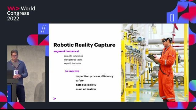
Validating lidar sensor models against real noise

Ulrich Wurstbauer +1 · LIVE

3:28 min

Rebuilding technical skills to become a strategic staff engineer

Marcin Olichwirowicz Marcin Olichwirowicz · World Congress 2026 Europe

1:25 min

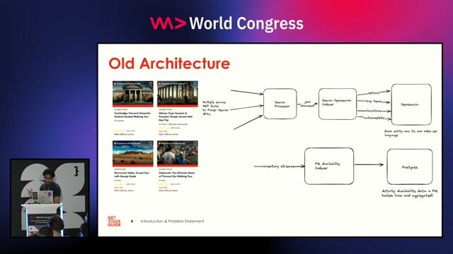
Advantages of migrating search infrastructure to PostgreSQL

Dharin Shah Dharin Shah · World Congress 2025

Videos

See all

Related articles

See all
