

GIS Technician

La Plata County
Durango, CO, United States
2 months ago

Role details

Contract type
Permanent contract
Employment type
Full-time (> 32 hours)
Experience level
Experienced
Experience required
2 years minimum
Compensation
$49,651.0 - $52,627.0
Working hours
Regular working hours
Job source

Tech stack

Computer-Aided Design Geographic Information Systems Adobe Acrobat Software Applications ArcGIS (Software) Python (Programming Language) Microsoft Office Spatial Data Infrastructures SQL Databases Web Applications Esri GIS (Software) Data Processing
+2 more
Database Replication Data Generation

Job description

Serves as the first point of contact for GIS services across the County, providing geospatial data, maps, and technical support to the public, County departments, local governments, and partner organizations. Maintains and edits authoritative County GIS datasets, publishes and supports web-based mapping applications, and assists with field data collection and quality assurance workflows. Works with the GIS Analysts to deliver accurate, accessible geospatial products and services., Essential functions may include any of the following tasks, knowledge, skills and other characteristics. The list that follows is not intended as a comprehensive list; it is intended to provide a representative summary of the major duties and responsibilities. Incumbent(s) may not be required to perform all duties listed, and may be required to perform additional, position-specific tasks. Reasonable accommodations, as defined under the American with Disabilities Act, will be made when possible.

Public and Customer Support:

  • Serves as the primary point of contact for walk-in, phone, and email requests from citizens regarding parcel data, ownership records, legal descriptions, easements, and custom mapping.
  • Produces custom maps and geospatial products tailored to client needs using ArcGIS Pro, ArcGIS Online, and related tools.
  • Assists the public with accessing and navigating County web mapping applications and open data resources.

County Department Support:

  • Fulfills mapping and spatial analysis requests from any La Plata County department.
  • Provides ongoing geospatial support to the Assessor’s Office for parcel splits, consolidations, and boundary adjustments.
  • Supports departmental workflows by creating, maintaining, and publishing web maps, dashboards, and data collection forms using current ESRI software.
  • Notifies the Planning Department of potential illegal land subdivisions and boundary adjustments.

External Agency and Partner Support:

  • Provides GIS support to local governments within La Plata County and supports local public and quasi-public organizations with custom mapping and data products.

Data Creation, Editing, and Quality Assurance:

  • Creates and edits GIS data in ArcGIS Pro, including feature digitizing, attribute entry, georeferencing, and spatial data integration from external sources.
  • Performs quality assurance and quality control checks on spatial data, including topology validation, attribute accuracy, and metadata completeness.
  • Assists with maintaining the County’s authoritative parcel fabric, address points, road centerlines, and other foundational datasets.
  • Supports enterprise geodatabase workflows including versioned editing and data replication as directed by the GIS Analysts., * Assists with publishing and maintaining map services, hosted feature layers, and web applications on ArcGIS Online and/or ArcGIS Enterprise Portal.
  • Supports the development and maintenance of public-facing web maps and internal operational dashboards.
  • Troubleshoots basic issues with web mapping applications and escalates complex problems to the GIS Analysts or IT staff.

General:

  • Checks own work for accuracy and completeness; follows established data standards and naming conventions.
  • Assists with GIS-related documentation, including metadata, standard operating procedures, and workflow guides.
  • Prepares tax maps and other cartographic products for the GIS Analyst and other staff as needed.
  • Performs other related duties as assigned.
  • Regular and predictable attendance is required.

Requirements

Do you have experience in Stakeholder relationship building?, Do you have a Trade school?, * ArcGIS Pro

  • ArcGIS Online and/or ArcGIS Enterprise Portal
  • ArcGIS Field Maps, Survey123
  • ArcGIS Dashboards, Experience Builder, StoryMaps
  • Microsoft Office 365)

Supporting Tools:

  • Adobe Acrobat or equivalent
  • Large-format plotter and scanner
  • Standard office computer, monitors, scanner, printer

Preferred / Advantageous:

  • Basic Python (arcpy, Notebooks) for data processing and automation
  • SQL or basic database query skills
  • CAD software familiarity (for integrating survey and engineering data), Two-year GIS Certificate from a college or technical school; or, Two years of progressively responsible related experience; or, Any combination of education, training and experience which provides the required knowledge, skills, and abilities to perform the essential functions of the job.

Knowledge, Skills and Abilities

Knowledge of:

  • Working knowledge of GIS concepts including coordinate systems, projections, spatial analysis, Public Land Survey System, and cartographic principles.
  • All computer applications and hardware related to performance of the essential functions of the job.
  • Effective written and verbal communication skills; ability to explain technical information to non-technical audiences.

Skill in:

  • Strong attention to detail in data entry, spatial editing, and quality assurance.
  • Intra-department and inter-department collaboration and coordination.
  • Customer service orientation; ability to interact professionally with the public and diverse stakeholders.

Ability to:

  • Read and interpret legal descriptions, survey plats, subdivision maps, and other land records.
  • Manage multiple projects simultaneously and meet deadlines.
  • Establish and maintain effective working relationships with a variety of individuals.
  • Learn new tools and technologies as the County’s GIS environment evolves.
  • Use tact, discretion, initiative and independent judgment within established guidelines.

Benefits & conditions

Pulled from the full job description

  • Paid parental leave
  • Parental leave
  • Health insurance
  • Vision insurance
  • Dental insurance
  • Life insurance
  • Disability insurance

Apply for this position

This job is hosted externally. Click below to view the full posting and apply.

Apply on indeed.com

Good distractions

Talks and stories from around this role — technically off-topic, practically not.

4:10 min

Introduction to technical background and geospatial roles

Joana Simoes · LIVE

1:14 min

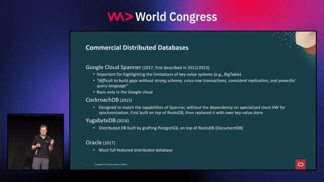
Evolution of distributed SQL database architectures

Wei Hu Wei Hu · WWC 2024

2:10 min

Defining stream data processing versus standard event processing

Soroosh Khodami Soroosh Khodami · WWC 2024

4:49 min

Discovering technical chart requirements via client use cases

Chris Heilmann +3 · LIVE

1:36 min

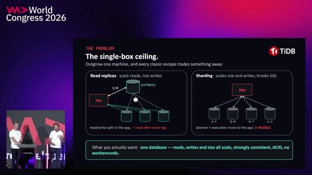
Evolution from key-value stores to distributed SQL

Wei Hu Wei Hu · WWC 2025

1:21 min

Identifying types of work suitable for automation

Clemens Schwaiger · LIVE

Videos

See all

Related articles

See all