

Imagery Scientist (OPIR)

Leidos, Inc.
Aurora, CO, United States
about 1 month ago

Role details

Contract type
Permanent contract
Employment type
Full-time (> 32 hours)
Experience level
Expert
Experience required
10 years minimum
Compensation
$116,350.0 - $210,325.0
Working hours
Regular working hours
Job source

Tech stack

Microsoft Access Microsoft Excel Geographic Information Systems ArcGIS (Software) Relational Databases Spatial Databases Python (Programming Language) Oracle (Applications) Performance Tuning Signal Processing SQL Databases Tableau (Software)
+4 more
Scripting Session Description Protocol Security Descriptions (SDES) Data Management Tools for Reporting

Job description

Leidos is seeking an Expert-level Imagery Scientist (OPIR) to represent our team at Buckley AFB, CO. This employee will serve as a customer-facing technical authority

Primary Responsibilities

Deliver deep physics- and math-driven analysis across optics, thermal radiation, and signal processing

Leverage advanced geospatial data management (ArcGIS, SDE, SQL/Oracle), scripting and analytics tools (Python/R, Tableau)

Forward-leaning understanding of AI integration in intelligence workflows, with the communication skills and professional presence required to represent Leidos and provide informal technical leadership.

Requirements

  • BS in BS management, electrical engineering, or 15+ years’ experience.
  • Typically requires a BA degree and 12 - 15 years of prior relevant experience or master’s with 10 - 13 years of prior relevant experience. (Must be able to obtain minimum of 18 combined experience points as defined by customer requirements)
  • Strong physics & math with optics, thermal radiation, and signal processing experience.
  • Knowledge of extraction and metadata specifications, relational database management system (RDBMS) best practices & performance tuning/optimization, enterprise geodatabases like spatial database engines (SDEs). Arc Suite, ArcGIS for Server, Excel, Access, SQL, Oracle.
  • Serve as a customer-facing technical lead, requiring strong written and verbal communication skills, the ability to represent Leidos professionally with government stakeholders, and the capability to provide informal team leadership and mentorship as mission needs dictate., * R/Python or other scripting language.
  • Demonstrated understanding of cartographic principles.
  • Understanding of ArcGIS Online & Portal for data management.
  • Knowledge of Tableau.
  • Familiarity with emerging Artificial Intelligence (AI) technologies, tools, and methodologies, with an understanding of their applications, implications, and integration into daily geospatial and intelligence workflows.
  • Professional certifications, particularly GPC Fundamentals.

If you’re looking for comfort, keep scrolling. At Leidos, we outthink, outbuild, and outpace the status quo - because the mission demands it. We’re not hiring followers. We’re recruiting the ones who disrupt, provoke, and refuse to fail. Step 10 is ancient history. We’re already at step 30 - and moving faster than anyone else dares.

Benefits & conditions

Pay and benefits are fundamental to any career decision. That’s why we craft compensation packages that reflect the importance of the work we do for our customers. Employment benefits include competitive compensation, Health and Wellness programs, Income Protection, Paid Leave and Retirement. More details are available at www.leidos.com/careers/pay-benefits .

About the company

Leidos is an industry and technology leader serving government and commercial customers with smarter, more efficient digital and mission innovations. Headquartered in Reston, Virginia, with 47,000 global employees, Leidos reported annual revenues of approximately $16.7 billion for the fiscal year ended January 3, 2025. For more information, visit www.Leidos.com .

Apply for this position

This job is hosted externally. Click below to view the full posting and apply.

Apply on dejobs.org

Good distractions

Talks and stories from around this role — technically off-topic, practically not.

1:24 min

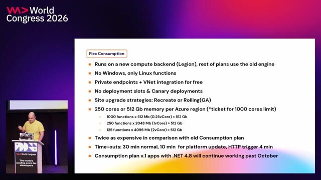
Estimating project expenditures with Azure Pricing Calculator

Radu Vunvulea Radu Vunvulea · WWC 2022

1:14 min

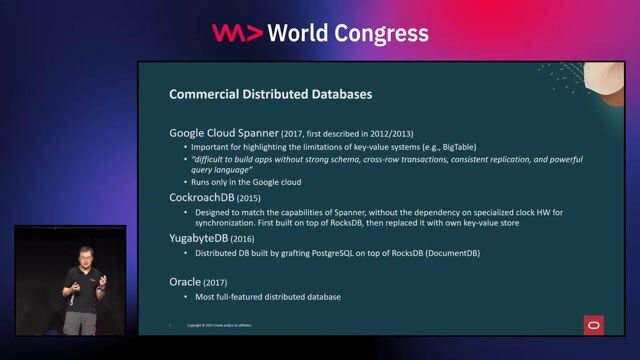
Evolution of distributed SQL database architectures

Wei Hu Wei Hu · WWC 2024

1:04 min

Introduction to Bitcoin script parsing tools

Steve Shadders · LIVE

4:10 min

Introduction to technical background and geospatial roles

Joana Simoes · LIVE

1:36 min

Evolution from key-value stores to distributed SQL

Wei Hu Wei Hu · WWC 2025

3:09 min

Balancing data science skillings alongside systems engineering rigor

Nico Schmidt · LIVE

Videos

See all

Related articles

See all