

GIS Cartographer

Umatilla County
Pendleton, OR, United States
3 months ago

Role details

Contract type
Permanent contract
Employment type
Full-time (> 32 hours)
Compensation
$76,848.0
Working hours
Regular working hours
Languages
Spanish
Job source

Tech stack

Microsoft Word Microsoft Excel Geographic Information Systems ArcGIS (Software) Digital Mapping Google Maps Microsoft PowerPoint Esri GIS (Software) Adobe Information Technology

Job description

Develop and maintain the County cadastral and GIS mapping system. Apply cartographic principles and practices to maintain records and cadastral and GIS maps. Aid the Assessor’s Office in the identification, location, inventory and mapping of land for assessment and valuation of property. Prepare a variety of cartographic maps; solve problems requiring knowledge of the subject matter of surveying, mapping and legal ownership. Perform all types of cartographic projects such as partitions, segregations and consolidations, research and resolution of ownership, boundary and taxing district issues.

Requirements

  • College degree from an accredited four-year college with major work in GIS, Geography, Computer Science, or related field OR any combination education and experience related to legal descriptions, reading survey maps, chain of title, or other relevant field as determined by the hiring authority may substitute for the degree.
  • GIS Professional Certification (GISP) preferred.
  • Requires excellent customer service both internally and externally.
  • Develop and maintain constructive and cooperative working relationships with community agencies and others.
  • Ability to speak and communicate both orally and in writing in both individual and group settings to professional organizations, public entities, governing bodies, senior management, employees, clients and the public.
  • Ability to apply common sense understanding to carry out instructions furnished in written, oral, or diagram form.
  • Excellent problem-solving skills.
  • Demonstrated ability to identify and implement solutions problems quickly in high pressure situations with professionalism.
  • Ability to interpret and evaluate facts in relation to laws, rules, regulations and policies.
  • Research available grants, prepare grant documents for application and reporting.
  • Use of Technology: Strong working knowledge of computer programs including but not limited to ESRI (ArcGIS), NRCS soil mapping, Google Maps, Excel, Word, PowerPoint, Adobe.
  • Ability to adapt to new technologies; troubleshoot problems including discrepancies in aerial mapping overlays between truth north and magnetic north; and utilize technology to increase productivity and keep technical skills up to date as necessary for continued growth and success of the department.
  • Must be a respectful member of the County team, which includes communicating and working effectively and appropriately with a variety of individuals or groups.
  • Use logic and reasoning to identify the strengths and weaknesses of alternative solutions, conclusions or approaches to problems.
  • Develop specific goals and plans to prioritize, organize and accomplish work.
  • Observe, receive and otherwise obtain information from all relevant sources.
  • Analyze information and evaluate results to choose the best solution and solve problems.
  • Speak, read write Spanish, preferred.
  • Must successfully pass a background check.

Benefits & conditions

  • Dental insurance
  • Employee assistance program
  • Flexible spending account
  • Health insurance
  • Health savings account
  • Paid time off
  • Retirement plan
  • Vision insurance

Apply for this position

This job is hosted externally. Click below to view the full posting and apply.

Apply on indeed.com

Good distractions

Talks and stories from around this role — technically off-topic, practically not.

4:10 min

Introduction to technical background and geospatial roles

Joana Simoes Ā· LIVE

3:58 min

Mitigating diverse browser quirks and unsupported clipboard metadata formats

Markus Over Markus Over

1:17 min

Eco-friendly factory operations and generative AI image errors

Chris Heilmann +1 Ā· LIVE

1:51 min

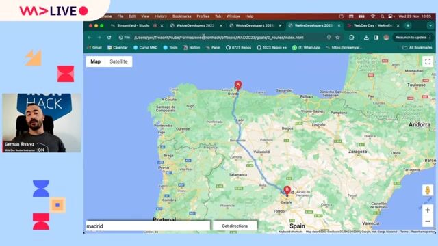
Overview of the three Google Maps routing applications

GermÔn Álvarez · LIVE

2:59 min

Utilizing live captions for context in video meetings

Florian Margaine Florian Margaine Ā· Europe 2026 Virtual

3:43 min

The creative era of early web API mashups

Angie Jones Angie Jones Ā· World Congress 2025

Videos

See all

Related articles

See all