





GIS Administrator

The Villages®
Middleburg, FL, United States
3 months ago

Role details

Contract type
Permanent contract
Employment type
Full-time (> 32 hours)
Working hours
Regular working hours
Job source

Tech stack

Microsoft Access Microsoft Excel Computer-Aided Design Geographic Information Systems AutoCAD ArcGIS (Software) ArcMap Data Conversion Global Positioning Systems (GPS) GPS EXchange Format SQL Databases Esri GIS (Software)
+1 more
Raster Graphics

Job description

Within the spirit of “Making People’s Dreams Come True”, this position is responsible for participating as a member of the Program Management Team following the duties and responsibilities below. These duties are accomplished while delivering Raving Fans customer service to both internal and external customers., * Provide AutoCAD drawing to ESRI GIS data conversion tasks including GIS Analysis, geo-referencing, and assigning projections to converted data, attribution, file geodatabase creation, map production, SQL table creation, SQL analysis, and editing of program source datasets.

  • Assist with GIS servers, GIS services, and program development.
  • Perform and self-manage AutoCAD and/or GIS QA/QC processes.
  • Create and edit Microsoft Excel, Access, and SQL database tables.
  • Resolve issues and address multiple tasks simultaneously.
  • Efficiently handle changing and emerging priorities.
  • Convert Civil Survey AutoCAD drawings to GIS.
  • Performs other duties as assigned by the Senior GIS Manager and Director of Program Management

Requirements

Do you have a valid Driver’s License license?, Do you have experience in Working on construction projects in a civil infrastructure role?, * Proficiency in various mapping software applications such as:

  • ESRI ArcGIS/ArcMap, Desktop Basic
  • AutoCAD, AutoCAD Civil/Survey, Infrastructure, Raster, and AutoCAD Map
  • Previous CAD-type drawing experience, AutoCAD-based design, drafting, preparation of site plans
  • Background in Geographic Information Systems mapping
  • AutoCAD Computer Aided Design and Drafting
  • Experience in Civil Survey design, construction, infrastructure (such as roads, utilities, and commercial property) and/or real estate development.
  • Use of Global Positioning Systems (GPS) field data collection and GPS data analysis
  • This position is subjected to The Villages Vehicle Safety Program and its policies as it requires the use of personal vehicles for company business.
  • A Valid Driver’s License with a record acceptable to company standards is required for this position.

Benefits & conditions

Pulled from the full job description

  • AD&D insurance
  • 401(k)
  • Paid time off
  • Vision insurance
  • Health savings account
  • Dental insurance
  • Flexible spending account

Apply for this position

This job is hosted externally. Click below to view the full posting and apply.

Apply on indeed.com

Good distractions

Talks and stories from around this role — technically off-topic, practically not.

4:10 min

Introduction to technical background and geospatial roles

Joana Simoes · LIVE

1:14 min

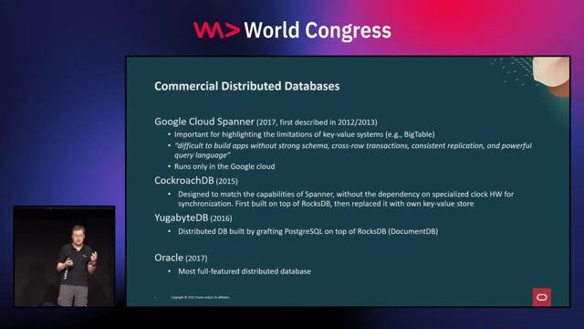
Evolution of distributed SQL database architectures

Wei Hu Wei Hu · World Congress 2024

1:54 min

Running heavy desktop graphics engines like AutoCAD on browsers

Önder Ceylan Önder Ceylan · World Congress 2024

2:42 min

Core objectives for automated vehicle management systems

Oliver Zimmert · LIVE

1:36 min

Evolution from key-value stores to distributed SQL

Wei Hu Wei Hu · World Congress 2025

1:23 min

Early implementations of WebAssembly across major industries

Niels Tanis Niels Tanis · World Congress 2023

Videos

See all

Related articles

See all


